


Climate Risk Is Quietly Reshaping NYC Real Estate — What Building Owners Need to Understand Before It's Priced In
More than one in four U.S. homes face severe or extreme climate risk, with New York City holding hundreds of billions in flood-exposed property. Insurance costs tied to climate risk have surged, and FEMA's flood maps underestimate actual exposure by nearly 2 million homes nationally. This post breaks down how climate risk is beginning to affect NYC property values, insurance costs, and investment decisions — and what building owners should know now before the market fully prices it in.
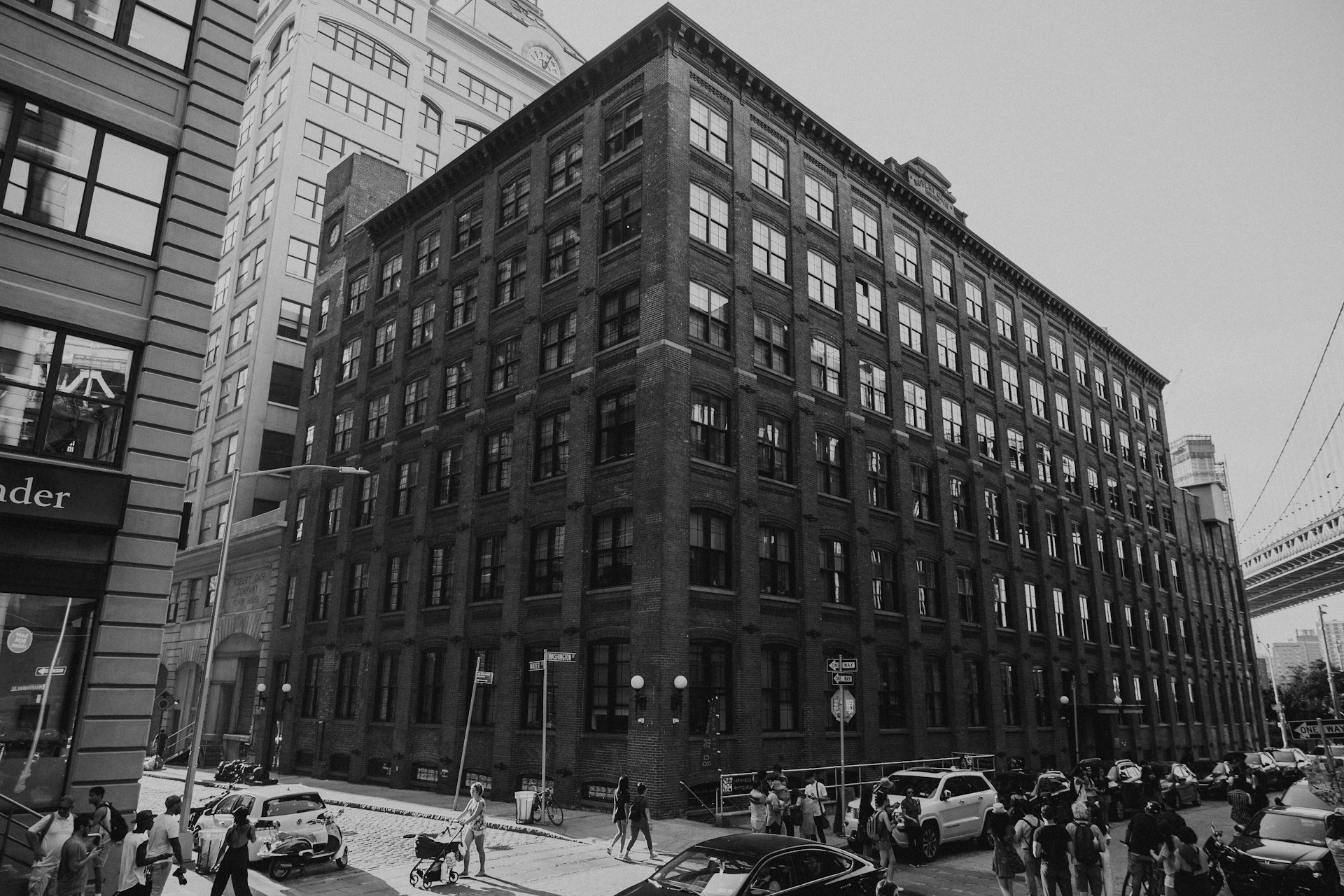
New York City's housing market has been so defined by demand dynamics — record rents, record sale prices, a 1.4% vacancy rate — that a slower-moving but equally consequential risk has received relatively little attention in the conversation about where the market goes from here. Climate risk, and its financial expression through insurance costs and property valuations, is beginning to show up in NYC real estate data in ways that were theoretical five years ago and are becoming measurable today.
The national picture is stark. More than one in four U.S. homes — amounting to $12.7 trillion in real estate — faces at least one type of severe or extreme climate risk, including floods, hurricanes, and wildfires, according to a Realtor.com Climate Risk Report. Nearly 6 million homes face severe flooding in the next 30 years, approximately 2 million more than FEMA estimates, because FEMA's flood maps are outdated and understate actual risk. Major metro areas including New York City collectively hold hundreds of billions of dollars in flood-exposed property. New York City's 520 miles of coastline, its proximity to the Atlantic hurricane corridor, and its concentration of below-grade infrastructure make it one of the more complex climate risk environments in the country — and the gap between what FEMA maps show and what First Street Foundation's climate models project is larger in New York than in most other major American cities.
What Sandy Established About NYC Property Values and Flood Risk
The clearest empirical evidence of how flood risk affects New York City property values comes from the aftermath of Hurricane Sandy in 2012. Research published in the Journal of the Association of Environmental and Resource Economists, applying a difference-in-differences framework to residential property transactions in New York City, found that properties included in updated floodplain maps — particularly those that hadn't flooded during Sandy but were newly designated as high-risk — experienced price reductions of approximately 11%. Properties that did flood during Sandy saw price declines of 5 to 7% for minimally inundated properties and 8 to 13% for properties with average inundation. These are not marginal adjustments — they represent significant valuation impacts from a single storm event and the regulatory mapping revision that followed it.
The question for 2026 is whether a similar adjustment is coming for properties that have not yet been properly mapped or priced for their actual climate exposure. FEMA is in the process of updating its flood maps — the process called Risk Rating 2.0 has already begun changing flood insurance pricing for many properties — and the properties most likely to see significant premium increases are those that have been underpriced for flood risk under outdated maps. New York City's neighborhoods are increasingly at risk of flood damage from coastal storms, rising sea levels, and heavy rainfall, and that risk has a direct impact on the city's historic building stock, which was not designed with current sea level projections in mind.
How Climate Risk Is Already Showing Up in NYC Insurance Costs
The connection between climate risk and NYC real estate is already visible in insurance data — a point made directly in the August 9 post in this series on NYC's property insurance crisis. Premiums for owners of rent-stabilized buildings jumped 150% between 2019 and 2025, with Brooklyn landlords in some neighborhoods paying over $8,000 per unit annually. Insurance carriers have been repricing climate-exposed assets faster than the broader market has adjusted its valuation assumptions, which creates a window in which properties with meaningful climate exposure are still valued as if insurance will remain affordable indefinitely.
Insurance costs have spiked substantially since 2017, severely expanding the insurance burden on residential assets, particularly multifamily and single-family rentals where landlords struggle to pass sudden premium hikes onto tenants. When insurance costs double, property valuations face immediate downward pressure. An unmitigated premium hike from $150 to $550 per month cuts cash flow by nearly 24%, compressing yields and severely limiting investment returns. For NYC building owners managing stabilized portfolios where rent increases are constrained, the insurance cost increase is not a passable expense — it's a direct reduction in net operating income that flows through to asset value.
The geographic concentration of this risk within NYC matters as much as the aggregate. Red Hook and the Gowanus Canal corridor in Brooklyn, significant portions of Lower Manhattan and the Financial District, the Rockaways and Jamaica Bay in Queens, the southern shores of Staten Island, and the South Bronx waterfront are all areas where climate risk models project meaningfully elevated flood exposure that is not fully captured in current FEMA designations or insurance pricing. Building owners in these areas who have not assessed their climate exposure through current-generation risk models may be carrying more financial risk than their insurance premiums suggest.
The Valuation Gap That Climate Risk Is Creating
One of the more consequential dynamics in climate-exposed real estate markets is the growing gap between what properties are officially worth — based on traditional comparable sales analysis — and what they may be worth when climate risk is fully priced in. Research from Realtor.com and First Street Foundation consistently finds that flood risks are particularly underestimated by the federal government, with nearly 2 million more homes facing severe flooding risk than FEMA's current maps acknowledge. As that gap closes — through map updates, insurance repricing, or market learning from climate events — the properties that have been overvalued relative to their actual risk profile face potential price corrections that buyers and owners haven't fully priced in.
Institutional investors are ahead of individual owners on this. Institutional-grade investors now utilize location-aware climate data before writing an offer. Before analyzing cap rates, they cross-reference assets with granular flood, fire, and wind risk models. Homes facing high future risk but lacking structural modifications are selling at a distinct market discount — savvy investors use this risk discount to negotiate a lower acquisition basis, keeping capital in reserve for structural upgrades. That institutional approach is now filtering down to sophisticated private investors in the NYC market, who are increasingly asking climate-specific questions during due diligence that weren't standard practice five years ago.
What NYC Building Owners Should Be Doing Now
The climate risk conversation in NYC real estate is not a reason to panic or to make drastic portfolio decisions. It is a reason to understand your specific exposure with more precision than most building owners currently have, and to make informed decisions about insurance coverage, capital improvements, and long-term hold assumptions based on current climate data rather than on FEMA maps that may be years out of date.
The first practical step is a climate risk assessment of your specific properties. First Street Foundation's Flood Factor tool provides free, property-level flood risk data that goes beyond FEMA's official designations and incorporates current sea level rise projections. For building owners in coastal neighborhoods or near waterways, understanding whether your property's First Street risk score diverges significantly from its FEMA designation is the starting point for understanding your actual insurance exposure.
The second step is reviewing your flood insurance coverage against your actual risk score. Properties in zones where FEMA maps underestimate risk may be underinsured against the events that are most likely to affect them — not the once-in-a-century storm, but the more frequent flooding events that climate change is making annual occurrences in some NYC neighborhoods. The cost of adding or increasing flood coverage is measurable; the cost of an uninsured flood event is not.
The third step is understanding the capital improvements that reduce both climate exposure and insurance premiums. Backflow preventers, sump pump systems, elevated mechanical equipment, and flood-resistant doors and windows are building improvements that reduce both the physical risk of water damage and the insurance cost associated with that risk. For NYC buildings subject to Local Law 97's carbon emissions requirements, some of these improvements can be structured to serve both climate resilience and energy efficiency goals simultaneously.
At Dover Property Group, climate risk is becoming a standard part of how we think about building management and capital planning for the owners we work with. If you want to understand your specific buildings' climate exposure, what the implications are for insurance coverage and cost, or what capital improvements would most effectively reduce both physical risk and premium burden, our team is glad to help.
Sources: Yahoo Finance / Realtor.com — One in Every 4 Homes Faces Severe Climate Risk, $12.7 Trillion in U.S. Real Estate · Journal of the Association of Environmental and Resource Economists — Climate Risk and Beliefs in New York Floodplains · Kukun — The Insurance Fortress: 2026 Climate Risk Real Estate · NYC Landmarks Preservation Commission — Climate Resiliency Resources for Property Owners · BDO — The Impact of Climate Change on the Real Estate Market: An Insurance Perspective
About the Author
Dover Property Group is a New York City property management firm working with building owners and tenants across all five boroughs. Our team tracks market conditions, compliance requirements, and neighborhood-level trends to help owners protect their assets and tenants navigate one of the most complex rental markets in the country.